Portneuf River at Topaz Station
Portneuf River at Topaz Station
Details
| Location | Latitude N: 42.624394013 Longitude W: -112.117096506 Elevation: Bannock County, Idaho, on the downstream side of the Portneuf Marsh Valley Canal (PMVC) Diversion, and 100 ft east of the intersection of U.S. Hwy 30 and Old Oregon Trail Road, 1.5 mi downstream of the USGS 13073000 Portneuf River at Topaz Idaho Gage, and 5 mi west of Lava Hot Springs. |
|---|---|
| Equipment | YSI 5920 multiparameter water quality sonde with temperature, specific conductance, pH, dissolved oxygen, and turbidity |
| Period of Record | 10 April 2003 – present during ice free conditions |
Photos

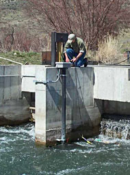
Jim Brock working at the PMVC Diversion Structure

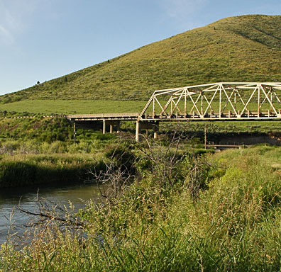
Portneuf Marsh Valley Canal - Topaz Station – Looking South towards Union Pacific Railroad Tracks

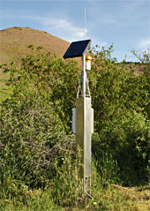
Topaz instrument tower

