Portneuf River at Siphon Road Bridge
Portneuf River at Siphon Road Bridge
Details
| Location | Latitude N: 42.935166076 Longitude W: -112.544059610 Elevation: Power County, Idaho, on downstream side of Siphon Road Bridge crossing, 4 mi west of Chubbuck. |
|---|---|
| Equipment | YSI 5920 multiparameter water quality sonde with temperature, specific conductance, pH, dissolved oxygen, and turbidity |
| Period of Record | 26 February 1999 – present during ice free conditions |
Photos
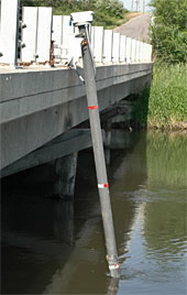
Swivel mounted sampling boom is perforated beneath the water to allow water to flow freely past probes.
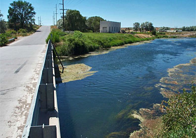
View to east of the West Syphon Road bridge
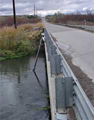
Station at Siphon Road. River flows left to right towards BIA irrigation pump station